Drones for Science: $500–$15,000 (Almost) — Sensors, Add-ons, and Real-World Use
Drones are now central to data collection in environmental science, conservation, archaeology, agriculture, disaster response, and urban planning. They enable researchers to gather high-resolution imagery, multispectral data, and thermal signatures over difficult terrain, all at a fraction of the cost of manned aircraft or satellite access.
That said, scientific funding is often limited. Fortunately, you don’t need a $20,000 drone to get scientifically valuable results. This guide covers sUAS systems spanning from $500 to $12,000 — highlighting models with sensor-rich payloads, mapping capabilities, and regulatory compliance suitable for scientific workflows.
Comparison Table
| Approx. Price | Model | Sensor Payload | Flight Time | Notable Features |
|---|---|---|---|---|
| $500 | Potensic ATOM 2 | 1/3" CMOS, 4K/8K imaging | 96 min (with 3 batteries) | AI Tracking, Night Vision, 3-Axis Gimbal |
| $750 | DJI Mini 3 | 1/1.3" CMOS, 4K | 38 min | True Vertical, Smart Controller |
| $1000 | DJI Mini 4 Pro | 1/1.3" CMOS, 4K HDR + OAS | 34–40 min | Multi-Directional Obstacle Avoidance, Waypoints |
| $1350 | DJI Air 3 | Dual 1/1.3" CMOS (Wide + 3x Tele) | 46 min | Remote ID, FocusTrack, High-Elevation Tolerance |
| $2000 | Autel EVO 2 Pro V3 | 1" CMOS, 6K HDR | 40 min | Moonlight Mode, 12-bit DNG, 360° Obstacle Avoidance |
| $3000 | Autel EVO II RTK V3 | 1" CMOS + RTK Module | 38 min | Real-Time Mapping, Centimeter-Level GNSS |
| $5000 | Autel EVO II Dual 640T | 640×512 Thermal + RYYB CMOS | 42 min | 10 Color Thermal Palettes, Zoom, Remote ID |
| $12000 | Autel EVO MAX 4N | Visual, Thermal, Starlight, Laser | 42 min | Mesh Networking, Lidar-Like Object Detection, SDK/API |
Drone-by-Drone Breakdown
$500 — Potensic ATOM 2
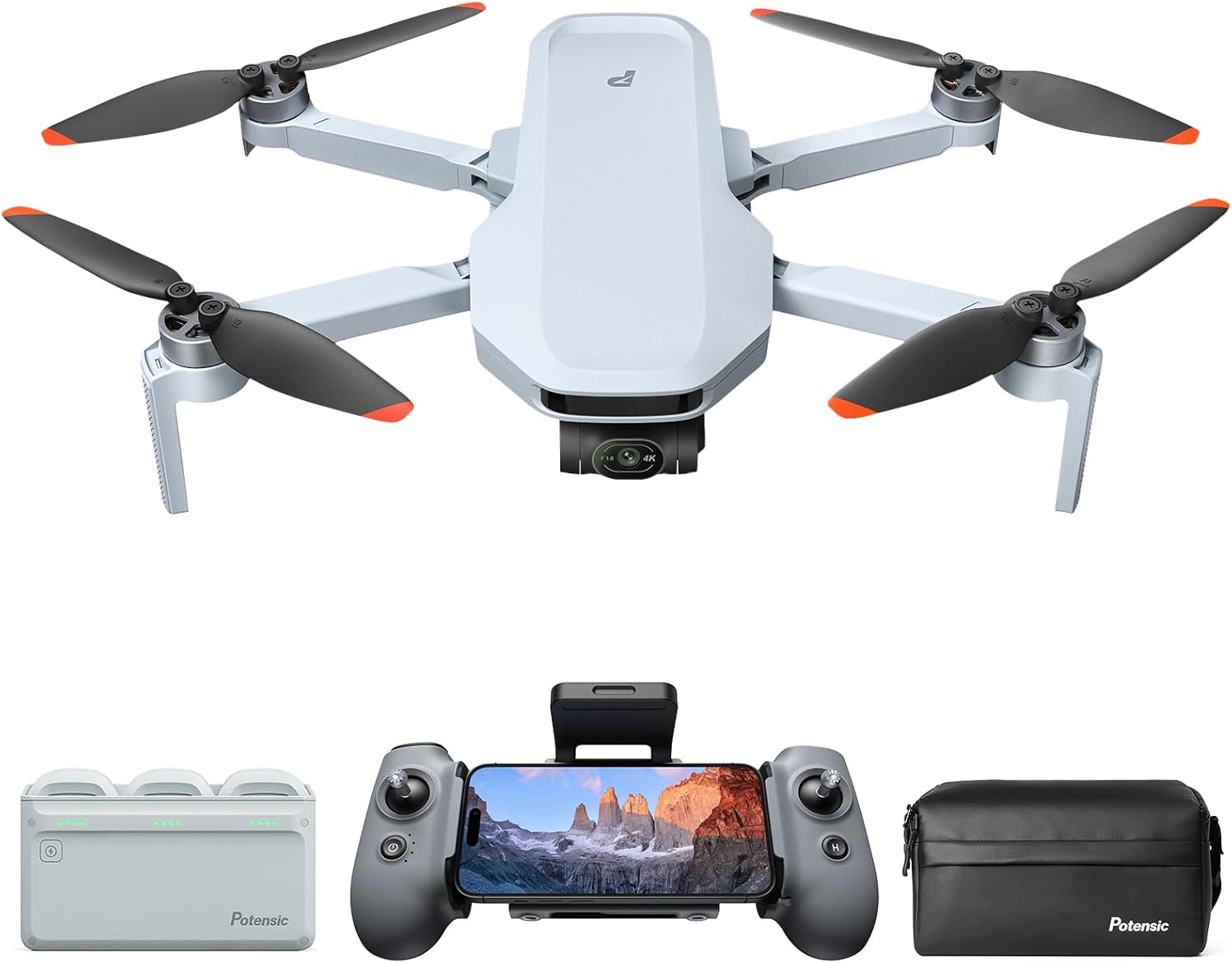
Sub-249g with 4K video and 8K photo support, the ATOM 2 offers AI-enhanced tracking and night capture, ideal for lightweight or regulatory-restricted field deployments.
Flight Time: Up to 96 minutes with Fly More Combo
Amazon Link: Buy on Amazon
$750 — DJI Mini 3 (Smart Controller Bundle)
True vertical shooting, 4K video, and an all-in-one smart controller make this a great solution for remote fieldwork and vertical image capture.
Flight Time: ~38 minutes
Amazon Link: Buy on Amazon
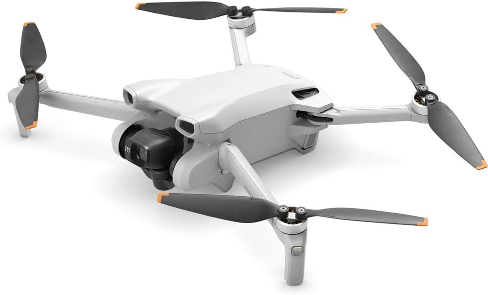
$1000 — DJI Mini 4 Pro
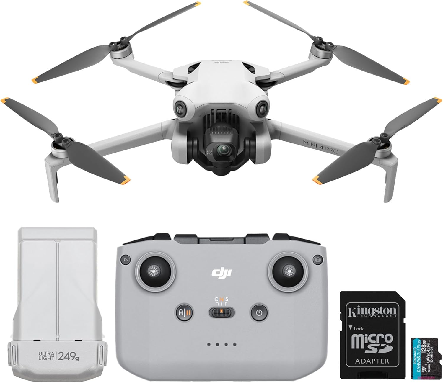
Obstacle sensing, HDR capture, and AI subject tracking make this a superb lightweight UAV for ecological and environmental monitoring.
Flight Time: 34–40 minutes
Amazon Link: Buy on Amazon
$1350 — DJI Air 3 (Fly More Combo)
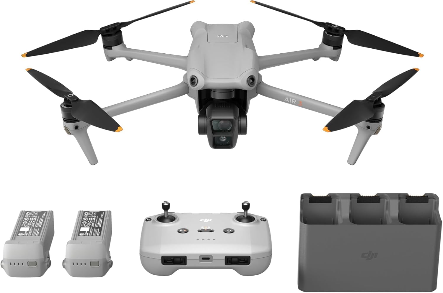
Dual-camera flexibility, omnidirectional obstacle avoidance, and strong battery performance make the Air 3 a robust mid-tier research drone.
Flight Time: Up to 46 minutes
Amazon Link: Buy on Amazon
$2000 — Autel EVO 2 Pro V3

Moonlight Mode and a 1-inch Sony CMOS sensor make this drone shine in low-light environments like forests or early morning field surveys.
Flight Time: ~40 minutes
Amazon Link: Buy on Amazon
$3000 — Autel EVO II PRO RTK V3
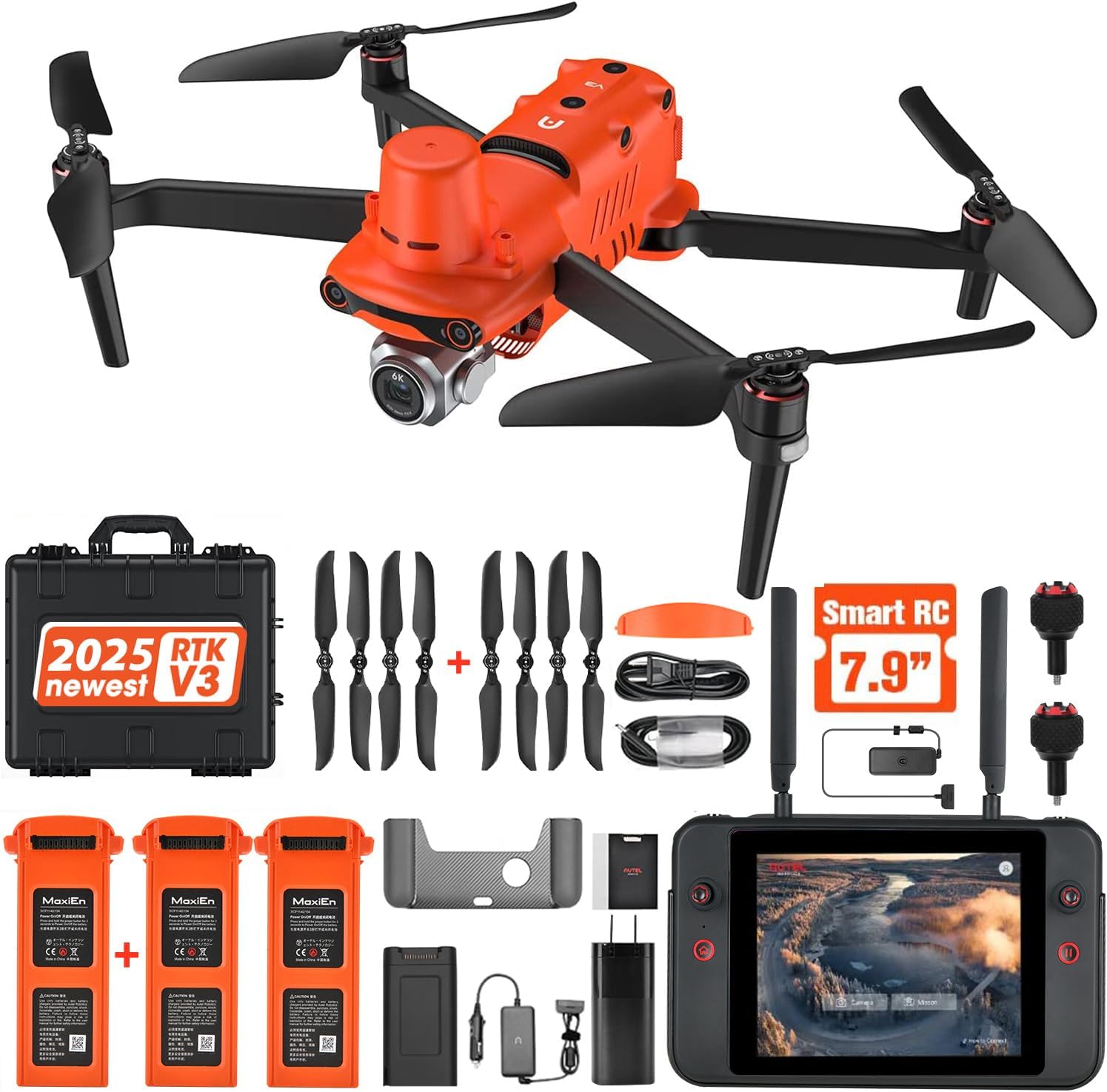
RTK and GNSS integration bring this unit into high-precision photogrammetry and mapping territory — ideal for DEM construction and cadastral overlays.
Flight Time: ~38 minutes
Amazon Link: Buy on Amazon
$5000 — Autel EVO II Dual 640T Enterprise V3
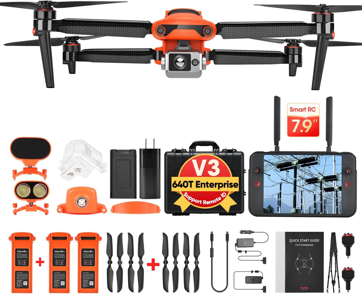
Thermal and RYYB dual-sensor architecture support fire monitoring, heat loss surveys, and species detection in darkness or canopy cover.
Flight Time: 42 minutes
Amazon Link: Buy on Amazon
$12000 — Autel EVO MAX 4N
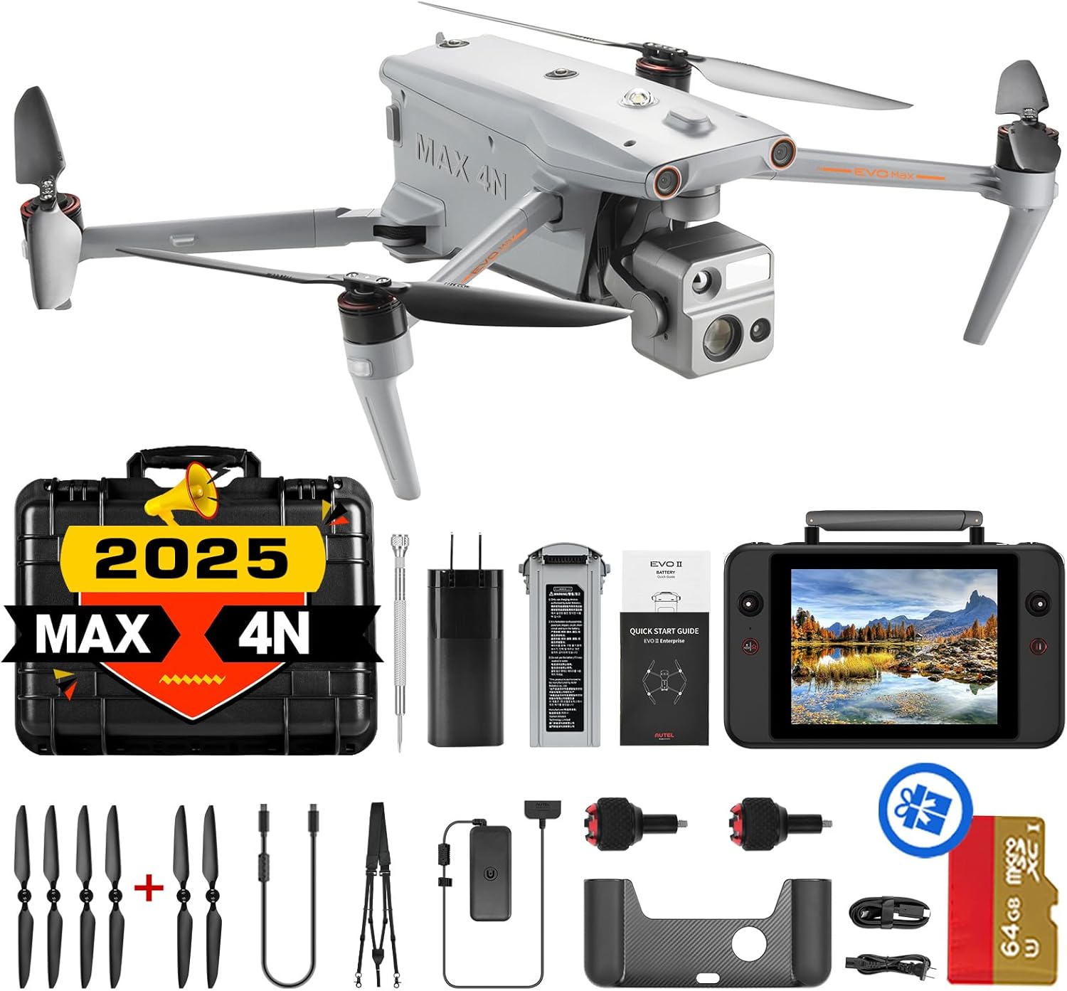
Thermal + Starlight + Laser + Wide camera in one. Staggering payload for institutions conducting disaster modeling, urban studies, or wildlife tracking under extreme conditions. The EVO MAX 4N offers probably the most exciting feature on this list, A-Mesh I.O., the industries first mesh networking. The implications of this for scientific research are immense. Stay tuned for case studies of mesh networking.
Flight Time: 42 minutes
Amazon Link: Buy on Amazon
Bonus: Add on sensors for scientific workflows!!!
TFS-20 Lidar Sensor 0.2-20m range
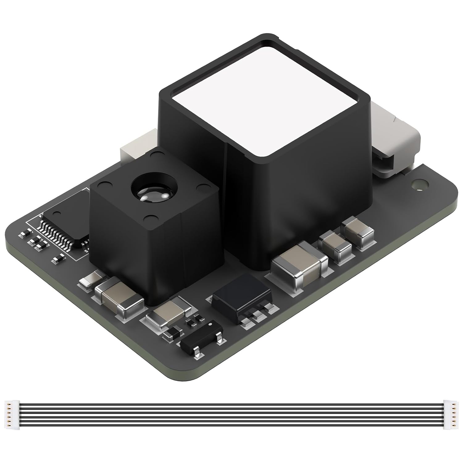
Is it possible to get LiDAR sensors on a drone for $40-80?!?! Well, maybe. With offerings like this from Amazon, the experimentation may be worth it if you’re working on a budget:
This unit plus into a RasberryPi via the I/O connection. The data gathered could be converted into a point cloud and stored on the Pi. We are currently testing this unit and will be reporting back with what we find.
Amazon Link: Buy on Amazon
WayPonDEV FHL-LD19 2D Lidar Sensor
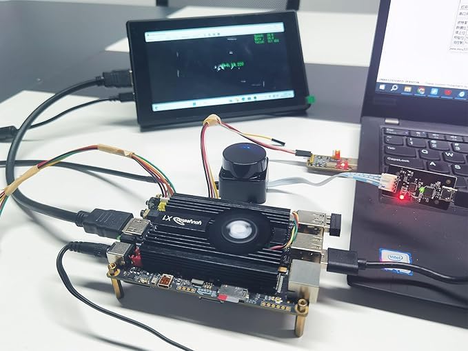
Here is another option in the LiDAR sensors that appears to be a little more robust. This unit, and the one above, include access to the manufacturers SDK (software development kit/kernel) for installation and custom workflows. This unit is also currently being evaluated by staff.
Amazon Link: Buy on Amazon
Final Thoughts
This list will hopefully lead you to a sUAS that meets your research or professional goals. You don’t need a defense grant to do real science with drones. From 4K HDR to real-time RTK and thermal overlays, today’s commercial drones offer sensor-rich data collection platforms at nearly every budget. Match your feature needs to your research goals — and don’t forget to budget for batteries, memory cards, and registration if required. We will be covering a variety of extras and accessories in future articles.